
San Vito Archaeological Area
A cross-section through the ancient Esquiline.
The archaeological area beneath San Vito preserves evidence from several different stages in the physical development of Rome.
The site lies beside the ancient Porta Esquilina, the eastern gateway later transformed into the monument commonly known as the Arch of Gallienus.
Excavations beneath the church exposed remains associated with Rome's early defensive system, a paved Roman road, hydraulic infrastructure and late-antique burials.
Rather than representing a single monument, San Vito records the repeated adaptation of one strategic point in the city's topography.
Before this was an archaeological interior, it was an edge of the city.
San Vito occupies a topographically important position close to the line of Rome's early defensive circuit.
Archaeological investigations identified remains built in cappellaccio tuff that have been associated with the ancient fortification system of the Esquiline.
The surviving structures help reconstruct a landscape that looked very different from the dense modern streets surrounding the church today.
Here the relationship between wall, gateway and road organised movement between the city and the territory beyond it.
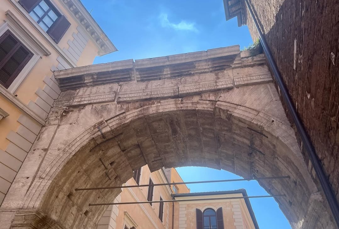
A road crossed the boundary and continued east from Rome.
A surviving section of basalt paving beneath San Vito has been interpreted as part of the Roman road associated with the Porta Esquilina.
The road is crucial for understanding the site. The gateway was not an isolated architectural object: it controlled a route connecting the interior of Rome with the territory outside.
Archaeology therefore allows the ancient urban system to be reconstructed as a sequence: fortification, gate, road and the infrastructure serving the surrounding district.
The present street plan preserves only part of that relationship. Below the church, its physical evidence becomes visible again.
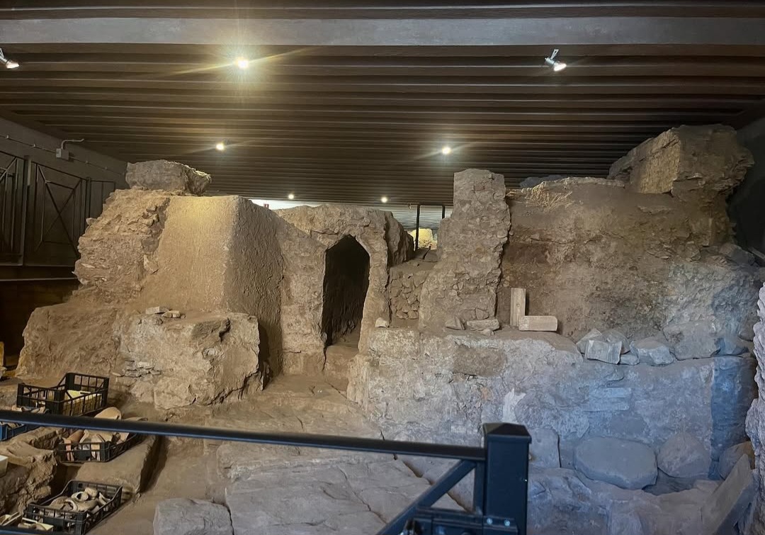
The same sector also formed part of Rome's hydraulic network.
The archaeological area preserves hydraulic structures connected with the Anio Vetus, one of Rome's earliest aqueducts.
The evidence demonstrates how water distribution intersected with the city's defensive and road systems at the Esquiline.
At San Vito, infrastructure normally studied as separate subjects can instead be read within a single physical context.
The function of the area changed while its structures remained.
Archaeological deposits beneath San Vito do not belong to a single construction phase. Defensive structures, circulation routes and hydraulic works were followed by later interventions.
Late-antique tombs identified during excavation demonstrate another change in the use of the area before the medieval and later history of the church reshaped the site again.
Fortification
Tuff structures preserve evidence associated with the early defensive organisation of the Esquiline.
Road and water
Paved circulation and hydraulic infrastructure occupied this strategic zone beside the Porta Esquilina.
Burial
Tombs record a later use of spaces whose original urban functions had changed.
The church
Ecclesiastical construction introduced another architectural phase above the earlier remains.
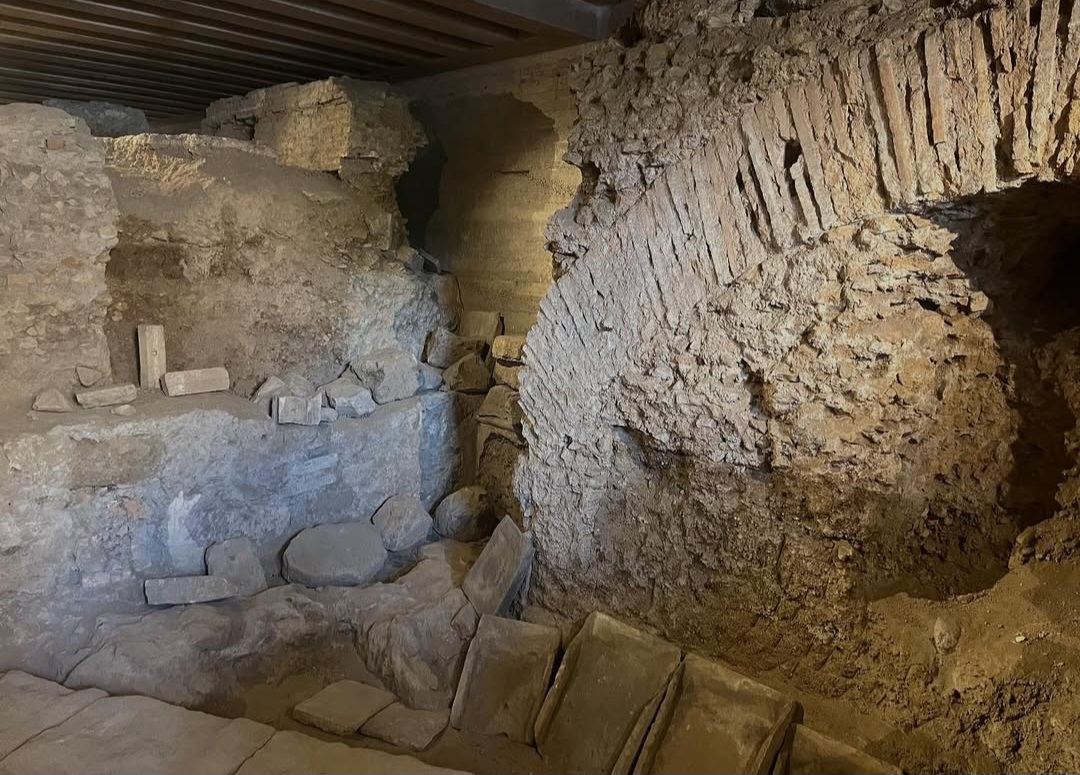
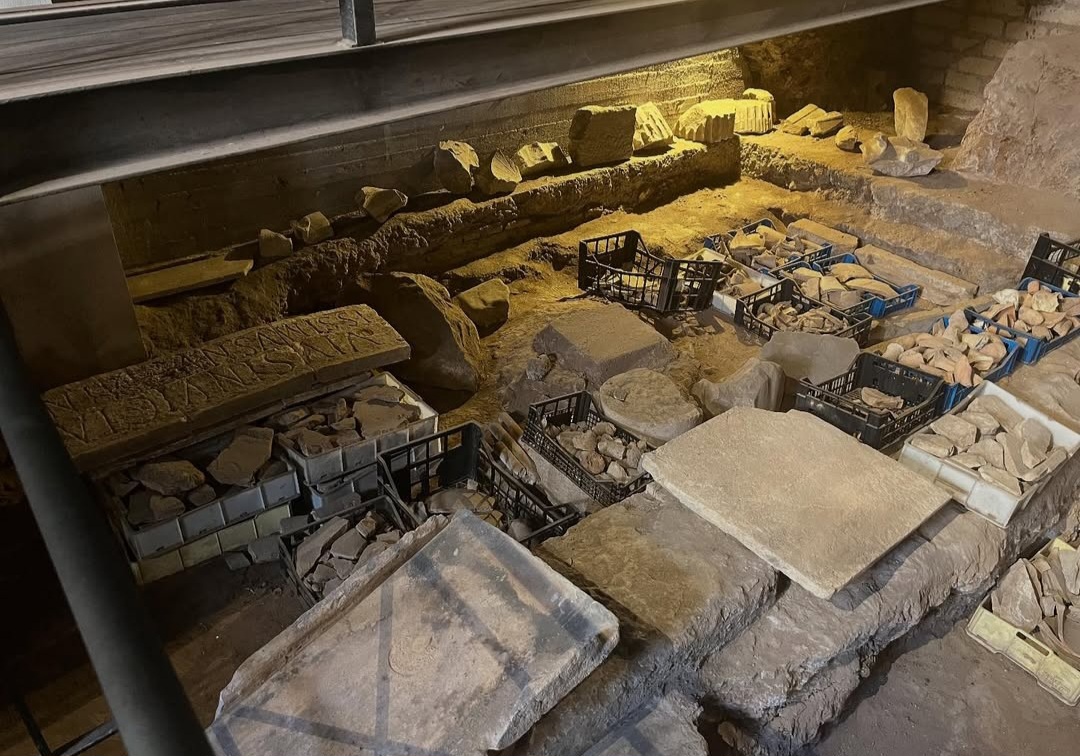
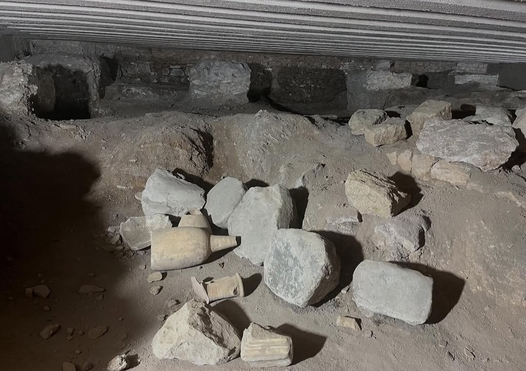
The archaeology makes sense when the underground and the street are read together.
Seen only from the street, the Arch of Gallienus can appear as an isolated Roman monument embedded between later buildings.
The archaeological area changes that reading. The gateway becomes part of a larger system of roads, walls and infrastructure.
Conversely, the structures below San Vito become easier to understand once their relationship with the surviving gateway and the topography of the Esquiline is restored.
The value of the site lies precisely in this connection between archaeological remains and their position within the city.
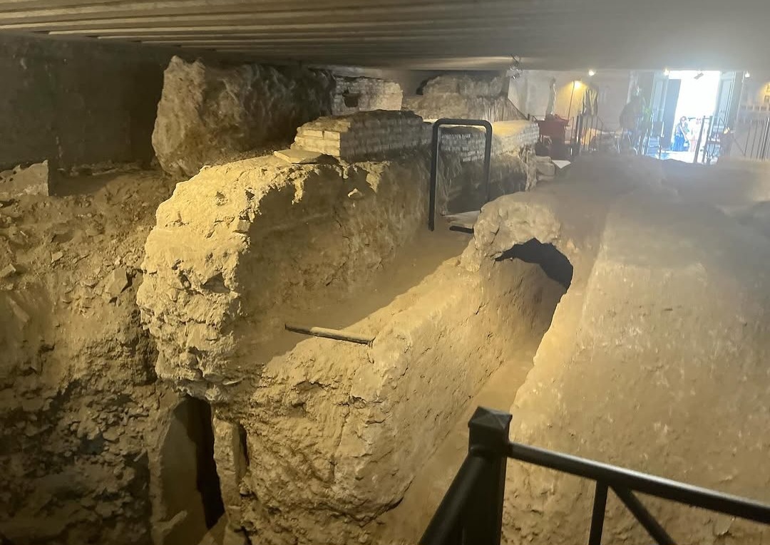
San Vito preserves infrastructure, not simply architecture.
Many archaeological sites are dominated by one building, one patron or one historical episode. San Vito works differently.
Its significance comes from the coexistence of physical systems that allowed Rome to function: defence, movement, water supply and later reuse.
That combination makes the site particularly valuable for reconstructing the ancient city as an evolving physical environment rather than as a collection of isolated monuments.
A relatively small archaeological space therefore provides evidence for a remarkably long sequence of urban change.
The archaeological area can be visited.
The archaeological area is associated with the Church of Santi Vito e Modesto on the Esquiline.
Published opening information may change, particularly because access is connected with an active religious building. Always check the current information before visiting.
Alessandro Tanzilli
The photographs documenting San Vito and its archaeological context on this page are by Alessandro Tanzilli. @alessandrotanz_
Design Your Journey
Underground Rome creates private archaeological journeys selected around your interests, available access and time in the city.
Design Your Journey →Underground Rome is the specialist archaeological project of Rome Private Experience. Corporate programmes, incentive travel and complex private arrangements are managed through Rome Private Experience.
Rome Private Experience →